Transantiago
Transantiago | 2003-2006 Maps
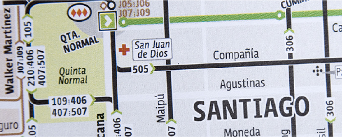
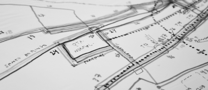
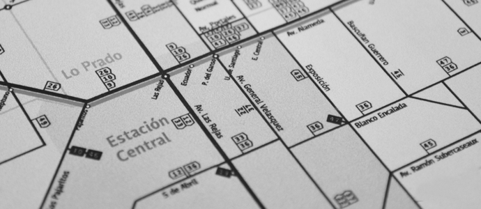
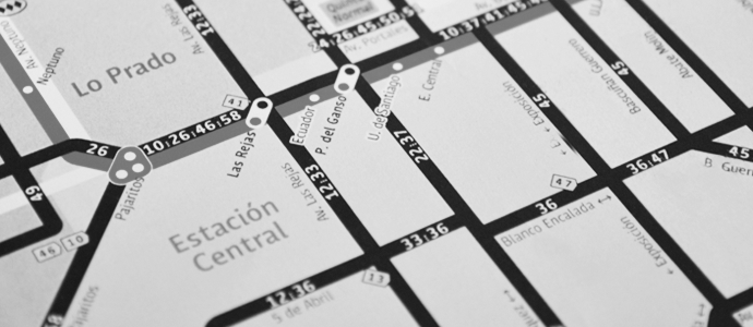
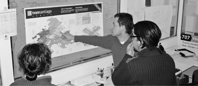
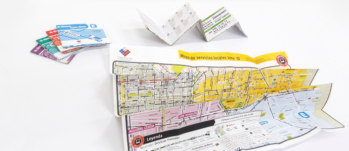
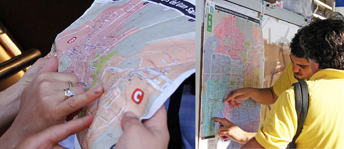
Design of the Transantiago’s transportation network map resulting from testing them with its users (passengers). This is one of the results of the Graphic Standards Stylebook (Manual) testing with users. The Main Map was printed in large format in order to show the network of trunk and local services as well as of Metro underground transportation system. The transportation lines were complemented with a schematic representation of the main streets and the relevant geographic and urban landmarks, plus the division of the city into several transportation network areas. Local maps of each one of these areas were created and printed with the same visual elements used in the Main Map.