Transport
Transantiago | 2009-2010 Maps
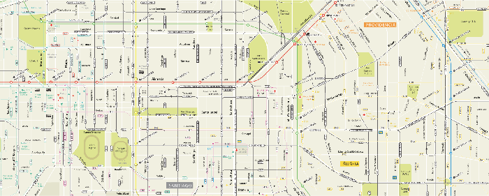
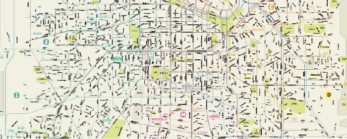
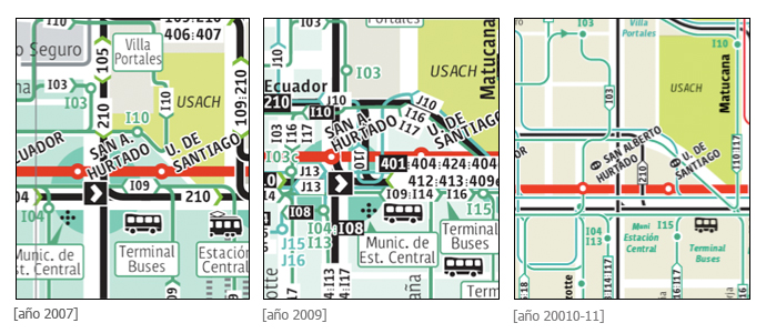
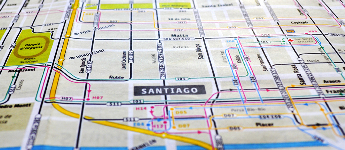
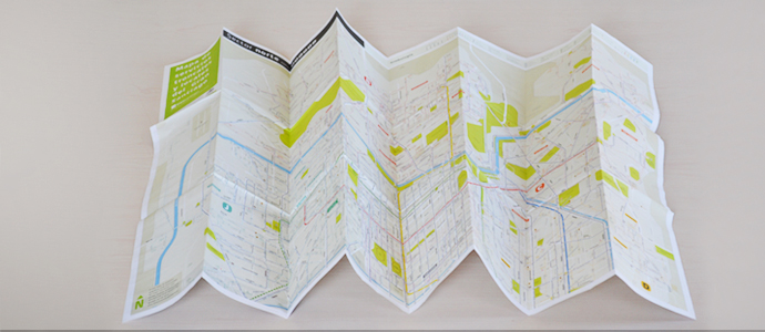
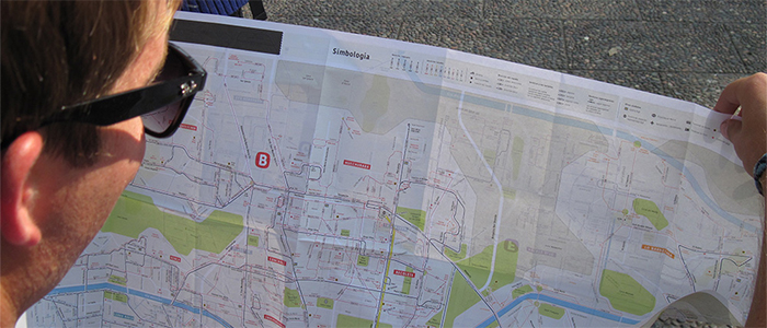
Update of Public Transport of Santiago’s network map. The main map was tested for usability after operational changes were introduced in the public transportation system. This required several important changes in the way the routes and streets are displayed in the map. The location of schools, hospitals, shopping centers was added to the map in order to expand the list of key references shown. The color coding of city areas was eliminated. The print version of the public transportation map was redesigned in two areas (North Santiago and South Santiago), work and tumble, in order to better display the information. Local maps no longer were used in the print map ir order to promote the use of the website map.